
2D area grid
Cover a survey area with parallel passes for mapping imagery.
Draw your survey area, choose semi-auto or full-auto capture, and export a WPML-format KMZ. Terrain-following heights and automatic flight splitting are built in.
Browser-based Terrain-aware WPML-compatible KMZ

Loading…
Orbit is unavailable for this aircraft. Choose a consumer aircraft or switch to 2D or Corridor.
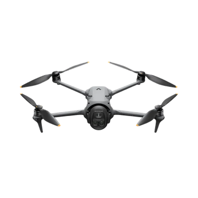 DJI Mavic 4 Pro
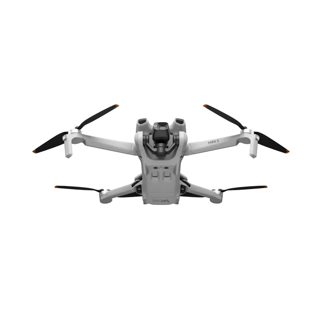 DJI Mini 3 Pro
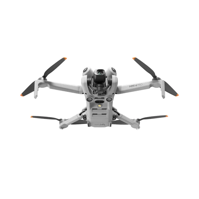 DJI Mini 4 Pro
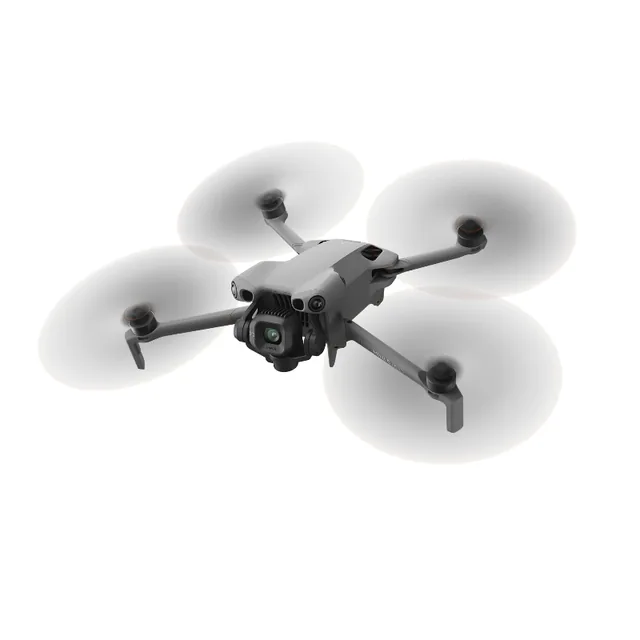 DJI Mini 5 Pro
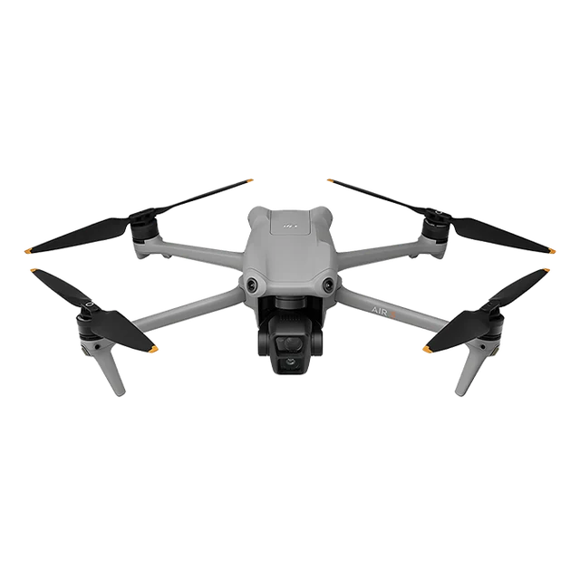 DJI Air 3
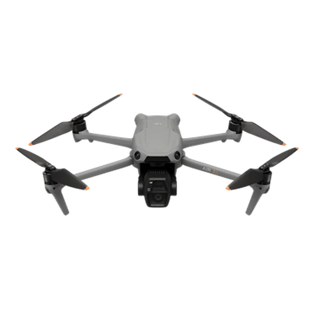 DJI Air 3S
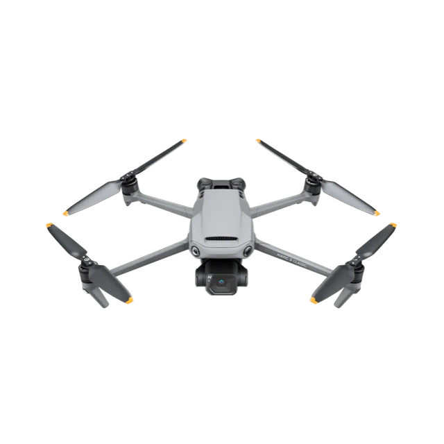 DJI Mavic 3 Classic
The Problem
Anyone can afford a drone with a survey-grade camera. Almost nobody can fly it as a survey aircraft. DJI is where the gap is widest today, and where FlyPath starts.
DJI mapping, terrain, and mission-transfer features vary by aircraft, controller, application, and firmware. Consumer workflows do not consistently include survey-grid, overlap, and resolution planning.
Third-party support also varies by aircraft and controller. A planner must separate route creation from the exact application and transfer workflow used to load and verify the mission.
Dividing one survey across several pilots while preserving overlap, coverage, and field progress still requires careful coordination. Corridor routes and cross-hatch passes already help single-pilot large sites in FlyPath today.
Multi-pilot handoff: available soon
Survey Patterns
Choose the route that fits your survey area and the imagery you need.
Cover a survey area with parallel passes for mapping imagery.

Add a perpendicular pass for stronger 3D reconstruction.

Follow a road, pipeline, or coastline with a narrow route.

Circle a subject to capture it from multiple angles.
Step by Step
Draw your area, configure the route, and export a WPML-format KMZ for review.

Draw a survey polygon on the map or import a polygon from a KML file.

Choose semi-auto or full-auto capture, then set aircraft, altitude, speed, overlap, margin, safety actions, and automatic fastest direction.
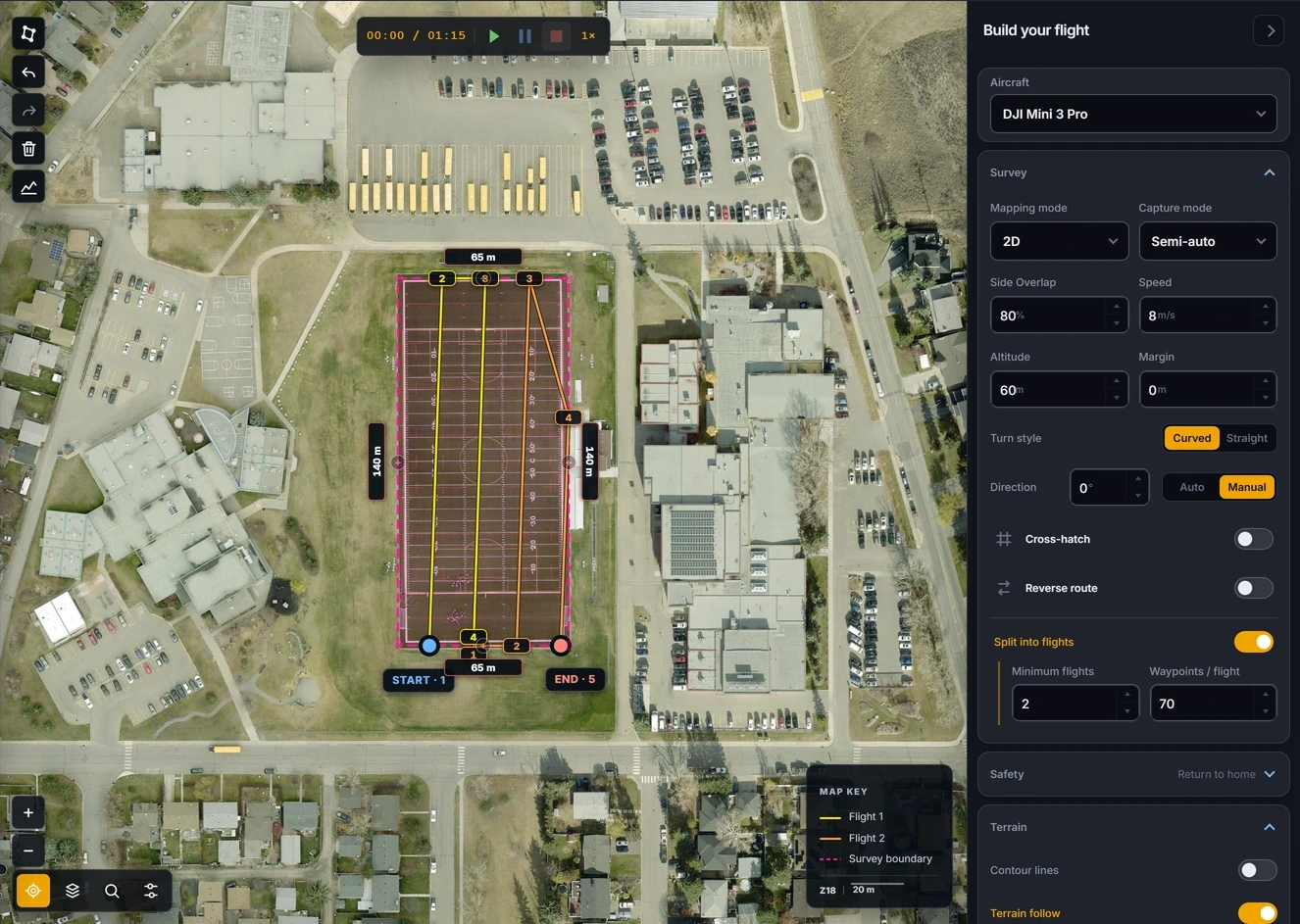
Preview elevation and clearance, add terrain-following heights, and divide long routes around battery and waypoint limits.
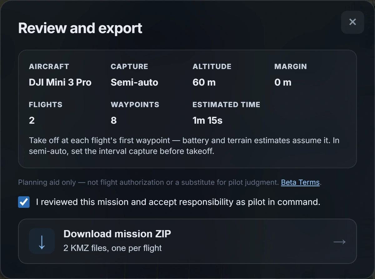
Reopen saved missions and download one WPML KMZ or a ZIP of continuous KMZ flights.
Terrain Aware
Built-in elevation data helps you plan per-waypoint heights, with no separate elevation account or subscription.
Set a tolerance in metres and FlyPath inserts waypoints wherever the ground rises or falls beyond it, keeping height above terrain steady.
Overlay contour lines at your chosen interval and colour, and show ground elevation beside each waypoint while you plan.
Draw a line across the site to see its elevation profile, with the line length and the ground height at both ends.
Flight Safety
FlyPath is a planning aid, not flight authorization or a substitute for pilot judgment.
Confirm the boundary, waypoints, altitude, speed, camera behavior, finish action, and controller-loss action.
Loading and flying the file still depends on the target aircraft, controller, DJI application, and firmware. Open every export in your intended workflow and verify its heights and actions before flight.
Check airspace, permissions, people, obstacles, weather, battery reserve, and current conditions before every flight.
Global Reach
FlyPath QGIS plugin downloads, tracked across the drone mapping community worldwide.
Source: QGIS Plugin Repository · 1810 tracked downloads (top 19 countries) · Updated
FAQ
Yes. The current web release is free. If paid plans or limits are introduced later, they will be presented before any charge applies.
FlyPath exports one DJI WPML KMZ or, with flight splitting enabled, a ZIP of continuous KMZ flights. Terrain-following heights can be included. Always inspect every file in the intended DJI application before flying.
Set a minimum number of flights and a per-flight waypoint limit. FlyPath divides the route at existing waypoints into continuous flights, not the survey area itself. Each flight starts where the previous one ended, and all of them download as separate KMZ files in one ZIP.
Choose a tolerance in metres. Along each flight line, FlyPath samples built-in global elevation data and inserts a waypoint whenever the ground has changed more than your tolerance, giving every waypoint its own flight height so the drone holds a steady height above terrain.
Semi-auto keeps capture control with the pilot. Full-auto adds photo actions along each flight line from the selected front overlap and the aircraft camera profile. Review every generated camera action before flight.
Draw a centre line instead of a polygon and set a corridor width. FlyPath plans a linear route along it, for roads, pipelines, coastlines, and other narrow sites where an area grid wastes flight time.
Cross-hatch flies the survey grid a second time, perpendicular to the first pass. It roughly doubles flight time and photo count in exchange for stronger 3D reconstruction and point-cloud stability.
FlyPath includes DJI Mini 3 Pro, Mini 4 Pro, Mini 5 Pro, Air 3, Air 3S, Mavic 3 Classic, and Mavic 4 Pro profiles. Multi-camera aircraft must use the wide mapping camera. The Matrice 4E remains in validation.
FlyPath can display elevation contours, preview terrain clearance, and export terrain-following heights. It does not provide airspace authorization, no-fly-zone, weather, or obstacle checks.
No. FlyPath is a planning aid. The pilot remains responsible for route review, compatibility checks, legal compliance, site assessment, and safe operation.
Team

Co-founder · CEO
Sets the survey maths behind overlap, terrain following, and capture quality.
LinkedIn
Founding Engineer
Builds the planner, the route engine, and the WPML export pipeline.
LinkedInFlyPath is made by Dronnix. Questions or feedback? Get in touch.
Start Planning
Create a free account to save your survey plans and export mission files.
Start Planning Free