DJI mission-file guide
WPML and KMZ mission planning for DJI drones
A KMZ is the package you move between systems; WPML describes the mission inside it. FlyPath turns a mapped area into a reviewable route and exports a structured file for a compatible DJI workflow.
File structure
What are WPML and KMZ?
KMZ is a compressed archive format based on KML. It provides a convenient way to carry geographic data and related mission files as one package. The .kmz extension describes the container, not every instruction the aircraft will execute.
WPML is DJI’s waypoint mission markup. It describes details such as mission configuration, aircraft information, route points, speeds, headings, actions, and completion behaviour. In a DJI mission workflow, WPML documents are placed inside the KMZ package using the expected file names and folder structure.
That means “KMZ export” and “WPML export” are related rather than competing formats: the exported KMZ carries the WPML mission.
Workflow
How FlyPath builds a mapping mission
- 01
Define the survey geometry
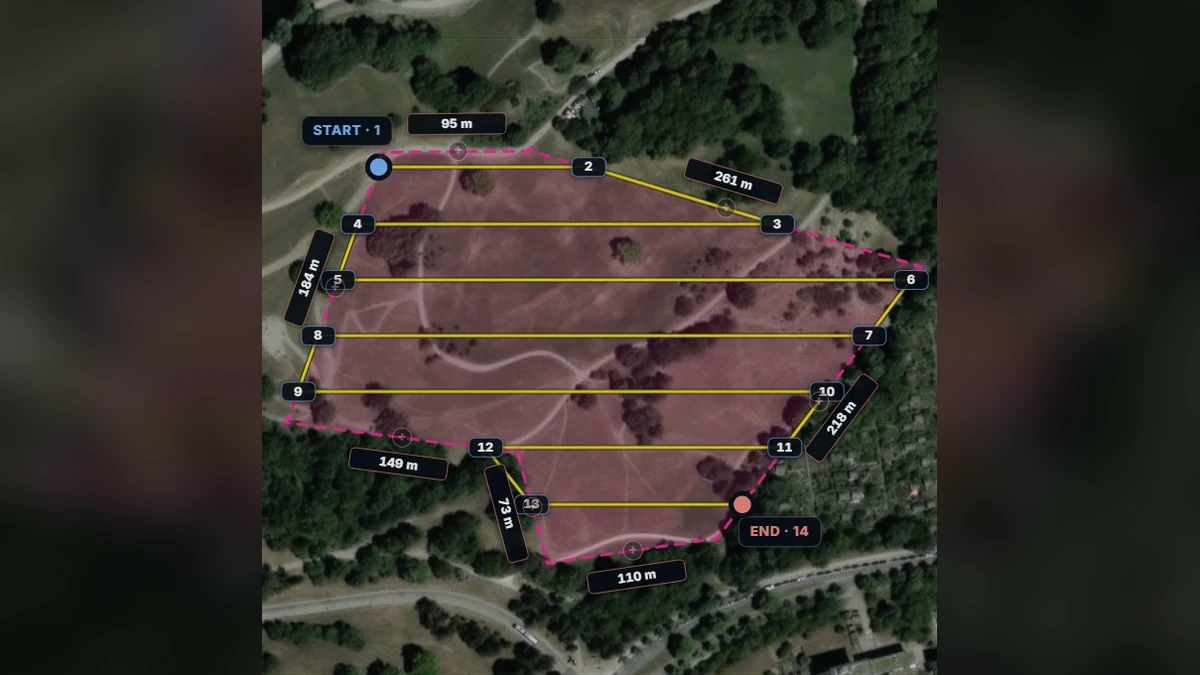
Draw the area on the map or import a KML boundary prepared by the survey team.
- 02
Generate and tune the grid
Choose the aircraft profile and adjust capture mode, altitude, overlap, speed, and direction.
- 03
Review the mission
Check route estimates and safety-sensitive settings such as finish and controller-loss actions.
- 04
Package the export
Generate the KMZ with the WPML mission documents and transfer it through the workflow supported by the target DJI setup.
Validation
Check every generated mission before flight
A technically valid archive is not automatically a safe or compatible flight. Aircraft models, controllers, DJI applications, and firmware releases can interpret or restrict mission features differently. The same route may also be unsuitable after conditions at the site change.
- Open the exported mission on the intended controller or DJI application.
- Confirm the aircraft and payload assumptions.
- Review every waypoint altitude, speed, heading, and camera action.
- Check the route against obstacles, terrain, airspace, and local regulations.
- Verify finish and lost-link behaviour.
- Use a conservative test route before operational deployment.
Questions
WPML and KMZ FAQ
Is every KMZ file a DJI mission?
No. KMZ is a general compressed geospatial container. A DJI mission requires the expected internal WPML documents and structure, plus values that the target DJI software and aircraft accept.
Can a KML boundary be imported and exported as a mission?
A boundary can be imported as planning geometry, but it is not itself a complete flight mission. FlyPath uses that geometry to generate flight lines and mission settings before creating the WPML-compatible KMZ.
Does WPML compatibility guarantee the route will fly?
No. Format compatibility is only one layer. The controller application, aircraft, firmware, route limits, and operational environment all need to be checked independently.
Build the route